
Click to enlarge
Growing Up on Mr Ward’s Map
- 27 Aug 2026 (10:00 am) to 8 Nov 2026 (4:00 pm)
- Katherine Mansfield House & Garden, 25 Tinakori Road, Thorndon, Wellington, 6011, New Zealand




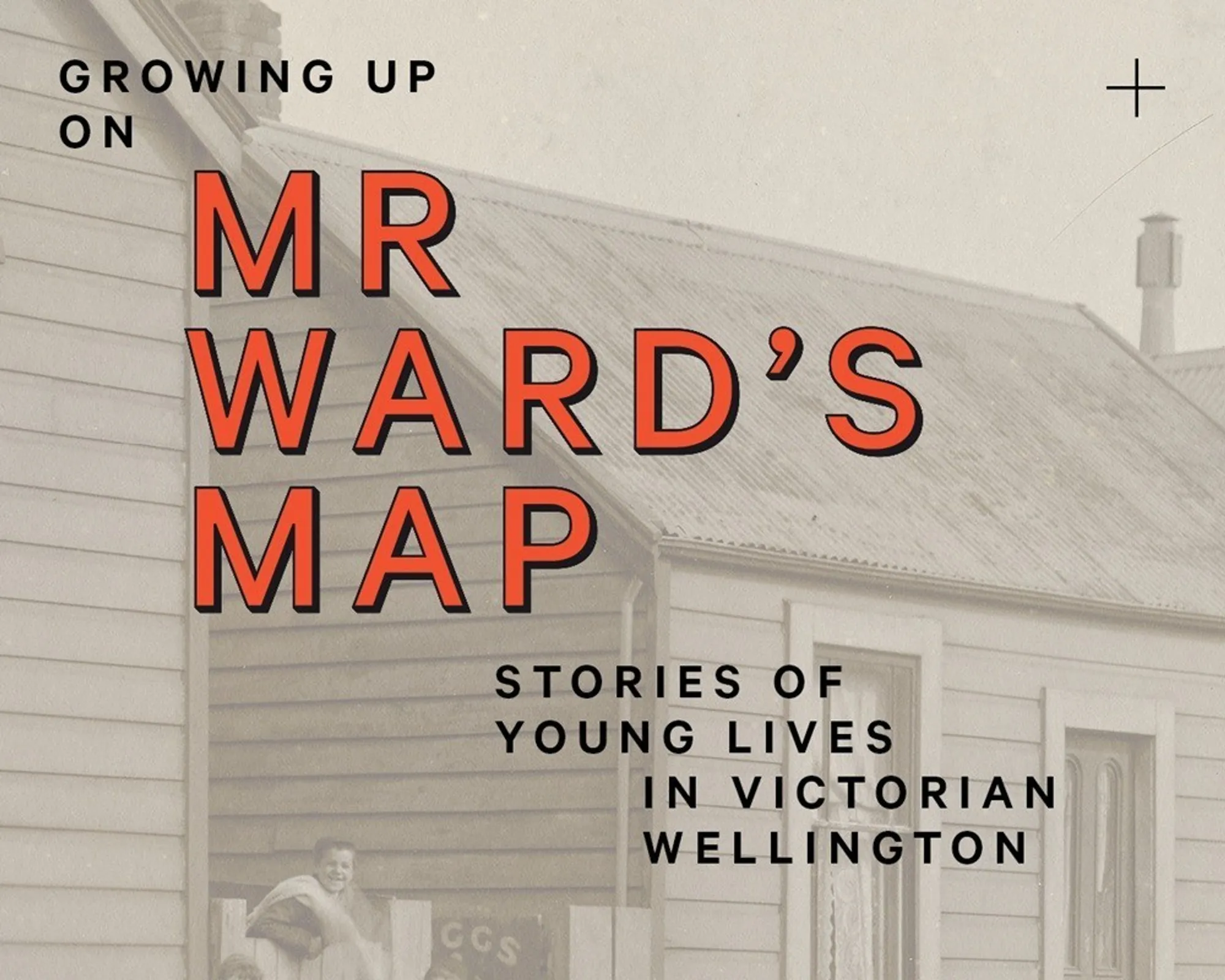
Growing Up on Mr Ward’s Map: Stories of Young Lives in Victorian Wellington
In this exhibition, Wellington historian Elizabeth Cox explores some of the stories and landscapes of childhood in Wellington, including that of Katherine Mansfield, her siblings and her young neighbours, through the medium of the Thomas Ward map.
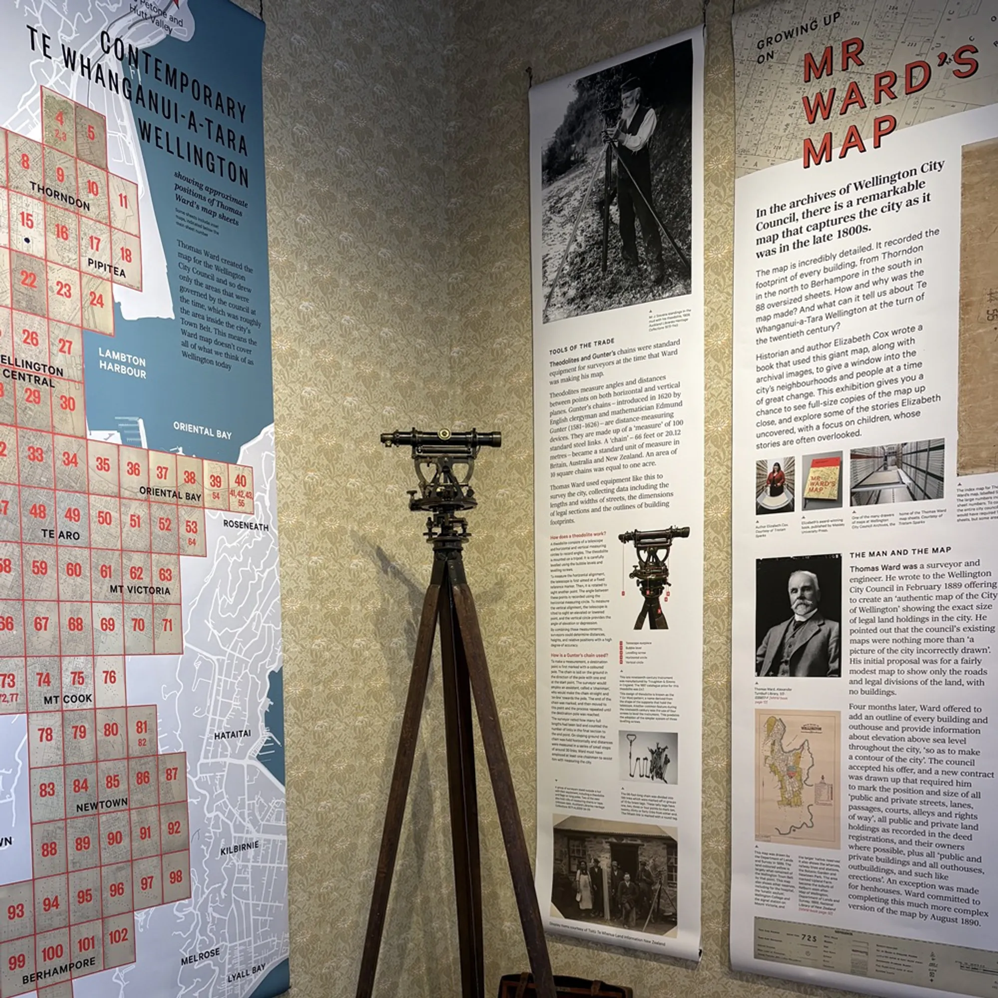
In 1891, a remarkable map of Wellington was completed by surveyor Thomas Ward. It recorded the footprint of every building in the city, from Thorndon in the north and across the teeming, inner-city slums of Te Aro to Berhampore in the south. Elizabeth used this detailed map to tell the stories of 1890s Wellington, a vibrant, seething capital city, in her book Mr Ward's Map: Victorian Wellington Street by Street, which recently won the Ockham New Zealand Book Awards BookHub Award for Illustrated Non-Fiction.
In this exhibition, designed specifically for Katherine Mansfield House & Garden, she examines what it was like to grow up in the city in the 1890s, featuring voices, stories and photographs of the city's children and teenagers. The exhibition, designed by the book's designer, Jo Bailey, will also feature copies of each of the maps, printed at their original scale for visitors to examine, and a projection of the many historic images used in the book, projected on the wall at a huge scale for all to enjoy.
Entry included with admission to the house. Please note that our Exhibition Room is upstairs, see the Accessibility page of our website for more information.
Sponsored by


