
Click to enlarge
Summer in the City: Exploring Entertainment on the Thomas Ward Map




Where did Wellingtonians head when it was time to have fun in the 1890s? Join historian Elizabeth Cox as she explores the entertainment options for young and old that can be found on the Thomas Ward map.
The Thomas Ward map was drawn by surveyor Thomas Ward for Wellington City Council. First completed in 1891, it was then updated for the next decade. It recorded the footprint of every building in the city, from Thorndon in the north and across the teeming, inner-city slums of Te Aro to Berhampore in the south. The map detailed every house, outdoor toilet and garden shed in the city, as well as hotels, theatres, oyster saloons, brothels, shops, stables, Parliament, kāinga, Town Belt, ‘lunatic asylum’, hospital and much more, down to the detail of the street lights.
The stories of the places recorded on this map and the people who lived in them are the subject of Elizabeth’s award-winning book Mr Ward’s Map: Victorian Wellington Street by Street.
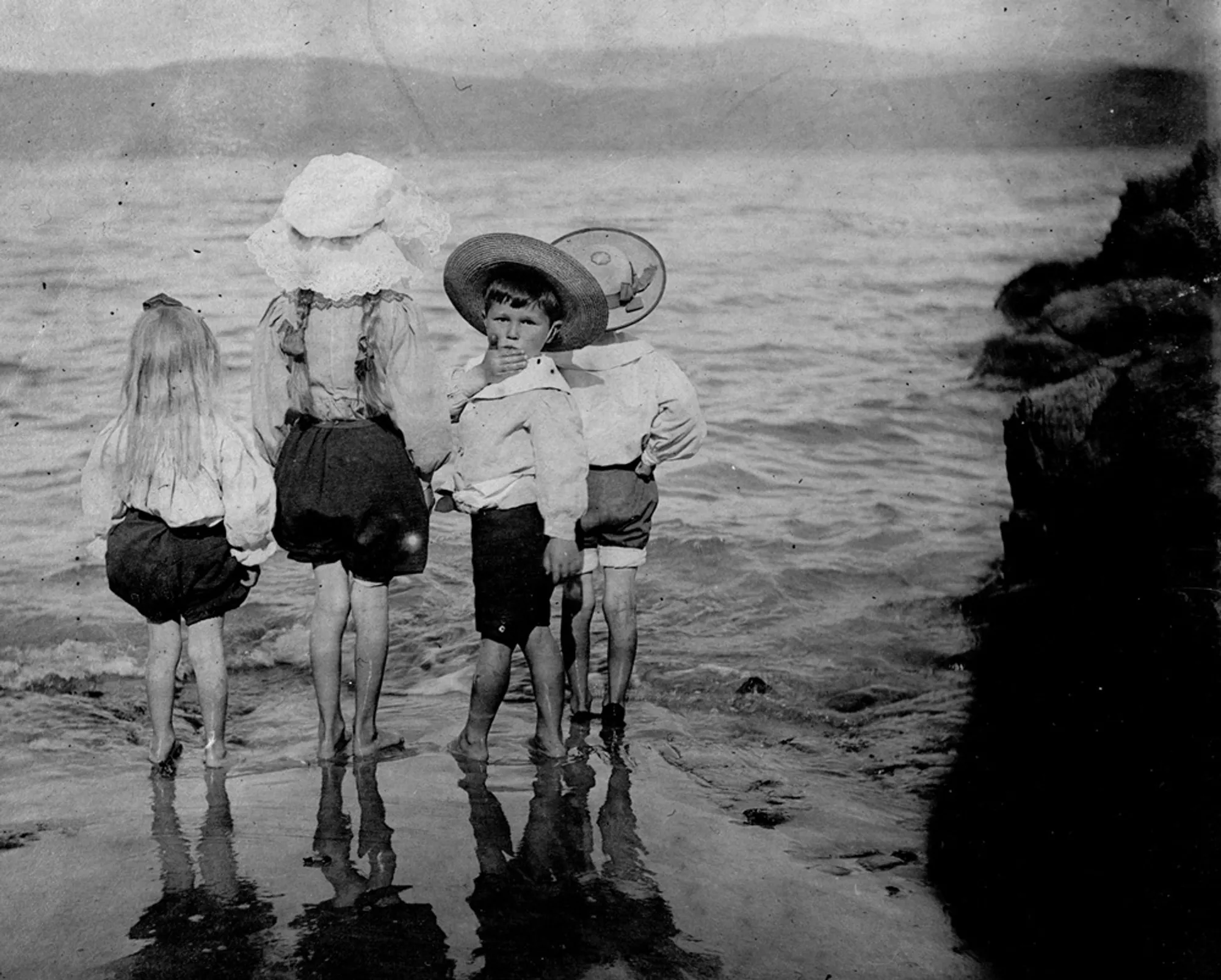
You can also visit the exhibition Growing Up on Mr Ward’s Map: Stories of Young Lives in Victorian Wellington. Created especially for Katherine Mansfield House & Garden by Elizabeth and the book’s designer Jo Bailey, the exhibition uses the Thomas Ward map to examine what it was like to grow up in the city in the 1890s, featuring voices, stories and photographs of the city's children and teenagers.
Please note that this event will take place upstairs, see the Accessibility page of our website for more information.
Image: Children wading in Wellington Harbour, photographed by Maurice Crompton-Smith c1900. Wellington City Council Archives, 00138-2868.